
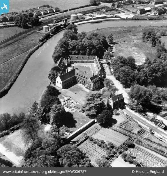
EAW036727 ENGLAND (1951). The Friars, Aylesford, 1951. This image has been produced from a print.
© Copyright OpenStreetMap contributors and licensed by the OpenStreetMap Foundation. 2025. Cartography is licensed as CC BY-SA.
Nearby Images (8)
EAW036727

EPW038106

EPW038103

EAW036725

EAW036726

EAW036728

EPW038097

EPW038102

Details
| Title | [EAW036727] The Friars, Aylesford, 1951. This image has been produced from a print. |
| Reference | EAW036727 |
| Date | 1-June-1951 |
| Link | |
| Place name | AYLESFORD |
| Parish | AYLESFORD |
| District | |
| Country | ENGLAND |
| Easting / Northing | 572393, 158882 |
| Longitude / Latitude | 0.47331897315021, 51.302410463435 |
| National Grid Reference | TQ724589 |
Pins
Be the first to add a comment to this image!