
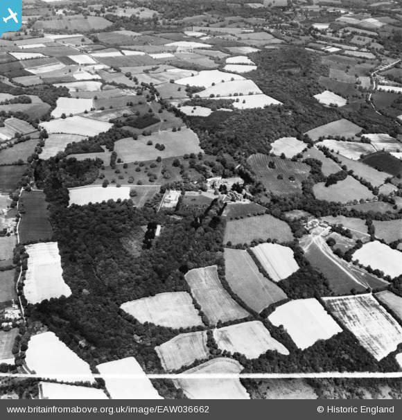
EAW036662 ENGLAND (1951). Sedgwick Park, Nuthurst, 1951. This image has been produced from a print marked by Aerofilms Ltd for photo editing.
© Copyright OpenStreetMap contributors and licensed by the OpenStreetMap Foundation. 2025. Cartography is licensed as CC BY-SA.
Nearby Images (8)
EAW036662

EAW036658

EAW036660

EAW036657

EAW036659

EAW036655

EAW036656

EAW036661

Details
| Title | [EAW036662] Sedgwick Park, Nuthurst, 1951. This image has been produced from a print marked by Aerofilms Ltd for photo editing. |
| Reference | EAW036662 |
| Date | 1-June-1951 |
| Link | |
| Place name | NUTHURST |
| Parish | NUTHURST |
| District | |
| Country | ENGLAND |
| Easting / Northing | 518290, 126631 |
| Longitude / Latitude | -0.31306019901922, 51.026322955398 |
| National Grid Reference | TQ183266 |
Pins
Be the first to add a comment to this image!