
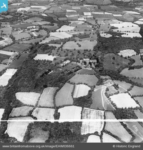
EAW036661 ENGLAND (1951). Sedgwick Park, Nuthurst, 1951. This image has been produced from a print marked by Aerofilms Ltd for photo editing.
© Copyright OpenStreetMap contributors and licensed by the OpenStreetMap Foundation. 2025. Cartography is licensed as CC BY-SA.
Nearby Images (8)
EAW036661

EAW036659

EAW036662

EAW036660

EAW036658

EAW036657

EAW036656

EAW036655

Details
| Title | [EAW036661] Sedgwick Park, Nuthurst, 1951. This image has been produced from a print marked by Aerofilms Ltd for photo editing. |
| Reference | EAW036661 |
| Date | 1-June-1951 |
| Link | |
| Place name | NUTHURST |
| Parish | NUTHURST |
| District | |
| Country | ENGLAND |
| Easting / Northing | 518229, 126481 |
| Longitude / Latitude | -0.31397864911241, 51.024987106451 |
| National Grid Reference | TQ182265 |
Pins

Dan Gregory |
Tuesday 11th of November 2014 10:44:25 PM | |
|
Dan Gregory |
Tuesday 11th of November 2014 10:35:59 PM |