
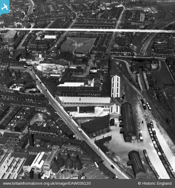
EAW036120 ENGLAND (1951). The Alexandra Pottery (Earthenware), Tunstall, 1951. This image has been produced from a print marked by Aerofilms Ltd for photo editing.
© Copyright OpenStreetMap contributors and licensed by the OpenStreetMap Foundation. 2026. Cartography is licensed as CC BY-SA.
Nearby Images (40)
EAW036120
, Tunstall, 1951. This image has been produced from a print marked by Aerofilms Ltd for photo editing.")
EAW036117
, Tunstall, 1951. This image has been produced from a print marked by Aerofilms Ltd for photo editing.")
EAW036119
, Tunstall, 1951. This image has been produced from a print marked by Aerofilms Ltd for photo editing.")
EAW036121
, Tunstall, 1951. This image has been produced from a print marked by Aerofilms Ltd for photo editing.")
EAW036116
, Tunstall, 1951. This image has been produced from a print marked by Aerofilms Ltd for photo editing.")
EAW036115
, Tunstall, 1951. This image has been produced from a print marked by Aerofilms Ltd for photo editing.")
EAW036118
, Tunstall, 1951. This image has been produced from a print marked by Aerofilms Ltd for photo editing.")
EAW036114
, Tunstall, 1951. This image has been produced from a print marked by Aerofilms Ltd for photo editing.")
EAW027951

EPW047614

EAW027953

EPW017310

EPW017312

EPW017315

EPW047613

EAW028358

EAW027950

EAW027954

EPW017311

EAW027952

EAW027948

EAW028359

EPW017309

EPW017314

EAW028355
, Tunstall, 1950. This image has been produced from a damaged negative.")
EPW017313

EPW047610

EPW047611

EAW028357

EAW027949

EAW028356

EPW047615

EAW028354
, Tunstall, 1950. This image has been produced from a damaged negative.")
EPW047612

EPW047609

EPW054085

EAW036190

EPW054091

EPW054086

EPW054083

Details
| Title | [EAW036120] The Alexandra Pottery (Earthenware), Tunstall, 1951. This image has been produced from a print marked by Aerofilms Ltd for photo editing. |
| Reference | EAW036120 |
| Date | 18-May-1951 |
| Link | |
| Place name | TUNSTALL |
| Parish | |
| District | |
| Country | ENGLAND |
| Easting / Northing | 386237, 351171 |
| Longitude / Latitude | -2.2053720026491, 53.057311873432 |
| National Grid Reference | SJ862512 |
Pins

bescotbeast |
Tuesday 3rd of March 2026 04:16:57 PM |