
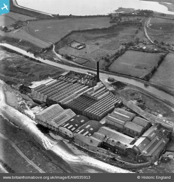
EAW035913 ENGLAND (1951). Waterside Mill, Bury, 1951. This image has been produced from a print.
© Copyright OpenStreetMap contributors and licensed by the OpenStreetMap Foundation. 2026. Cartography is licensed as CC BY-SA.
Nearby Images (7)
EAW035913

EAW035912

EAW035916

EAW035910

EAW035914

EAW035911

EAW035915

Details
| Title | [EAW035913] Waterside Mill, Bury, 1951. This image has been produced from a print. |
| Reference | EAW035913 |
| Date | 12-May-1951 |
| Link | |
| Place name | BURY |
| Parish | |
| District | |
| Country | ENGLAND |
| Easting / Northing | 379361, 409793 |
| Longitude / Latitude | -2.3117922172555, 53.584078936266 |
| National Grid Reference | SD794098 |
Pins

John W |
Saturday 15th of October 2016 10:18:36 AM | |
|
John W |
Saturday 15th of October 2016 10:17:57 AM | |
|
John W |
Saturday 15th of October 2016 10:14:15 AM |