
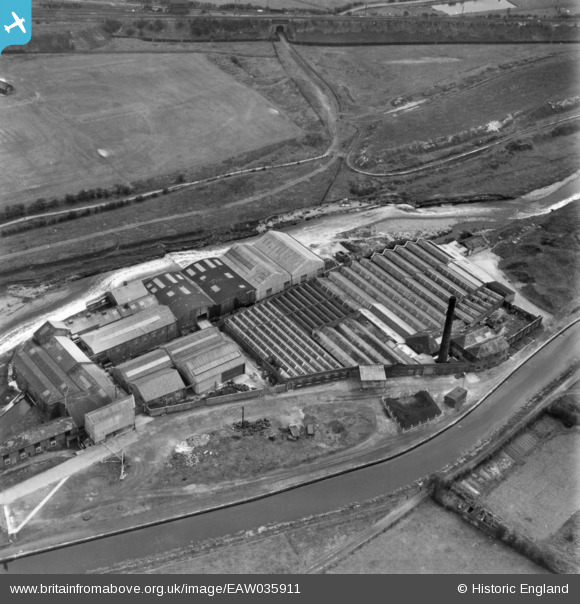
EAW035911 ENGLAND (1951). Waterside Mill, Bury, 1951. This image has been produced from a print.
© Copyright OpenStreetMap contributors and licensed by the OpenStreetMap Foundation. 2026. Cartography is licensed as CC BY-SA.
Nearby Images (7)
EAW035911

EAW035915

EAW035910

EAW035914

EAW035912

EAW035916

EAW035913

Details
| Title | [EAW035911] Waterside Mill, Bury, 1951. This image has been produced from a print. |
| Reference | EAW035911 |
| Date | 12-May-1951 |
| Link | |
| Place name | BURY |
| Parish | |
| District | |
| Country | ENGLAND |
| Easting / Northing | 379413, 409820 |
| Longitude / Latitude | -2.3110084506134, 53.584323689161 |
| National Grid Reference | SD794098 |
Pins
Be the first to add a comment to this image!