
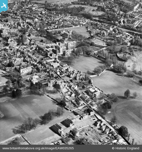
EAW035265 ENGLAND (1951). Kingsgate Street and St Mary's College (Winchester College), Winchester, 1951
© Copyright OpenStreetMap contributors and licensed by the OpenStreetMap Foundation. 2026. Cartography is licensed as CC BY-SA.
Nearby Images (14)
EAW035265
, Winchester, 1951")
EAW035264

EAW035266
, the Cathedral of the Holy Trinity and the city, Winchester, 1951")
EPW044867

EAW035269
, Winchester, 1951")
EAW022311

EPW023319

EAW035263
, Winchester, 1951")
EAW008851

EAW035270
, Winchester, 1951")
EAW008849

EPW023322

EPW044869

EAW035268
, Winchester, 1951")
Details
| Title | [EAW035265] Kingsgate Street and St Mary's College (Winchester College), Winchester, 1951 |
| Reference | EAW035265 |
| Date | 6-April-1951 |
| Link | |
| Place name | WINCHESTER |
| Parish | |
| District | |
| Country | ENGLAND |
| Easting / Northing | 448089, 128813 |
| Longitude / Latitude | -1.3137775892324, 51.056108546956 |
| National Grid Reference | SU481288 |
Pins
Be the first to add a comment to this image!