
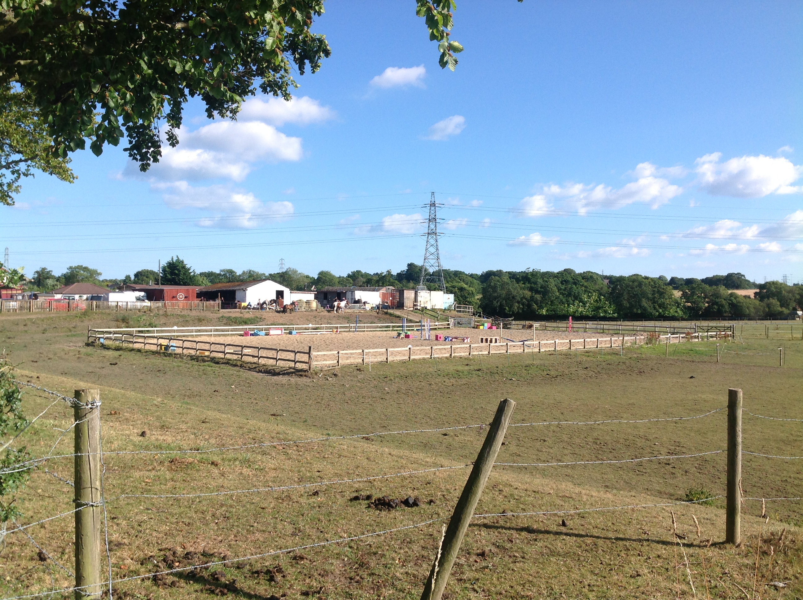
EAW034655 ENGLAND (1951). A Nursery on Magna Road, Canford Park, 1951. This image was marked by Aerofilms Ltd for photo editing.

© Copyright OpenStreetMap contributors and licensed by the OpenStreetMap Foundation. 2025. Cartography is licensed as CC BY-SA.
Nearby Images (8)
EAW034655

EAW034647

EAW034653

EAW034654

EAW034656

EAW034657

EAW034652

EAW034649

Details
| Title | [EAW034655] A Nursery on Magna Road, Canford Park, 1951. This image was marked by Aerofilms Ltd for photo editing. |
| Reference | EAW034655 |
| Date | 12-February-1951 |
| Link | |
| Place name | CANFORD PARK |
| Parish | |
| District | |
| Country | ENGLAND |
| Easting / Northing | 404379, 97223 |
| Longitude / Latitude | -1.9378893124983, 50.774004621424 |
| National Grid Reference | SZ044972 |
Pins

Class31 |
Wednesday 28th of May 2014 03:59:05 PM | |
Tha different types of glasshouse/cold frame are interesting. We'll update the catalogue and post the new location data here in due course. Yours, Katy Britain from Above Cataloguing Team Leader |
Katy Whitaker |
Friday 27th of June 2014 05:08:00 PM |
|
Class31 |
Wednesday 28th of May 2014 03:50:29 PM |
User Comment Contributions

A341 looking east, 13/07/2014 |
Class31 |
Tuesday 15th of July 2014 07:04:16 AM |

Rydal Mount from the A341, 13/07/2014 |
Class31 |
Tuesday 15th of July 2014 07:03:29 AM |
Rydal Mount from the A341, 13/07/2014 |
Class31 |
Tuesday 15th of July 2014 07:03:03 AM |

Rydal Mount from the A341, 13/07/2014 |
Class31 |
Tuesday 15th of July 2014 07:02:33 AM |
Derwent from the A341, 13/07/2014 |
Class31 |
Tuesday 15th of July 2014 07:01:47 AM |
EAW034647 to EAW034657 cover the same area and were taken the same day. |
Class31 |
Wednesday 21st of May 2014 09:15:17 AM |