
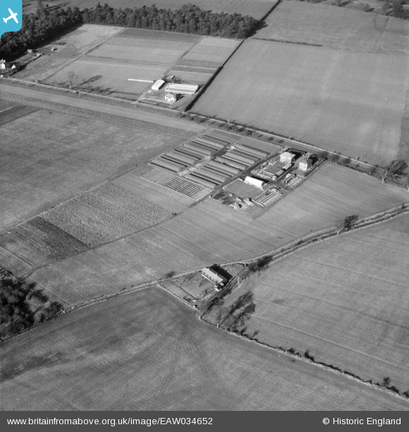
EAW034652 ENGLAND (1951). A Nursery on Magna Road, Canford Park, 1951
© Copyright OpenStreetMap contributors and licensed by the OpenStreetMap Foundation. 2025. Cartography is licensed as CC BY-SA.
Nearby Images (9)
EAW034652

EAW034657

EAW034656

EAW034654

EAW034655

EAW034647

EAW034653

EAW034650

EAW034649

Details
| Title | [EAW034652] A Nursery on Magna Road, Canford Park, 1951 |
| Reference | EAW034652 |
| Date | 12-February-1951 |
| Link | |
| Place name | CANFORD PARK |
| Parish | |
| District | |
| Country | ENGLAND |
| Easting / Northing | 404370, 97172 |
| Longitude / Latitude | -1.9380175724633, 50.773546014668 |
| National Grid Reference | SZ044972 |
Pins

Class31 |
Monday 14th of July 2014 07:36:50 PM | |
|
Class31 |
Monday 14th of July 2014 07:32:51 PM | |
|
Class31 |
Monday 14th of July 2014 07:30:09 PM | |
|
Class31 |
Wednesday 28th of May 2014 04:00:25 PM | |
|
Class31 |
Wednesday 28th of May 2014 03:48:52 PM | |

nkingdon |
Tuesday 27th of May 2014 11:27:37 PM |


User Comment Contributions
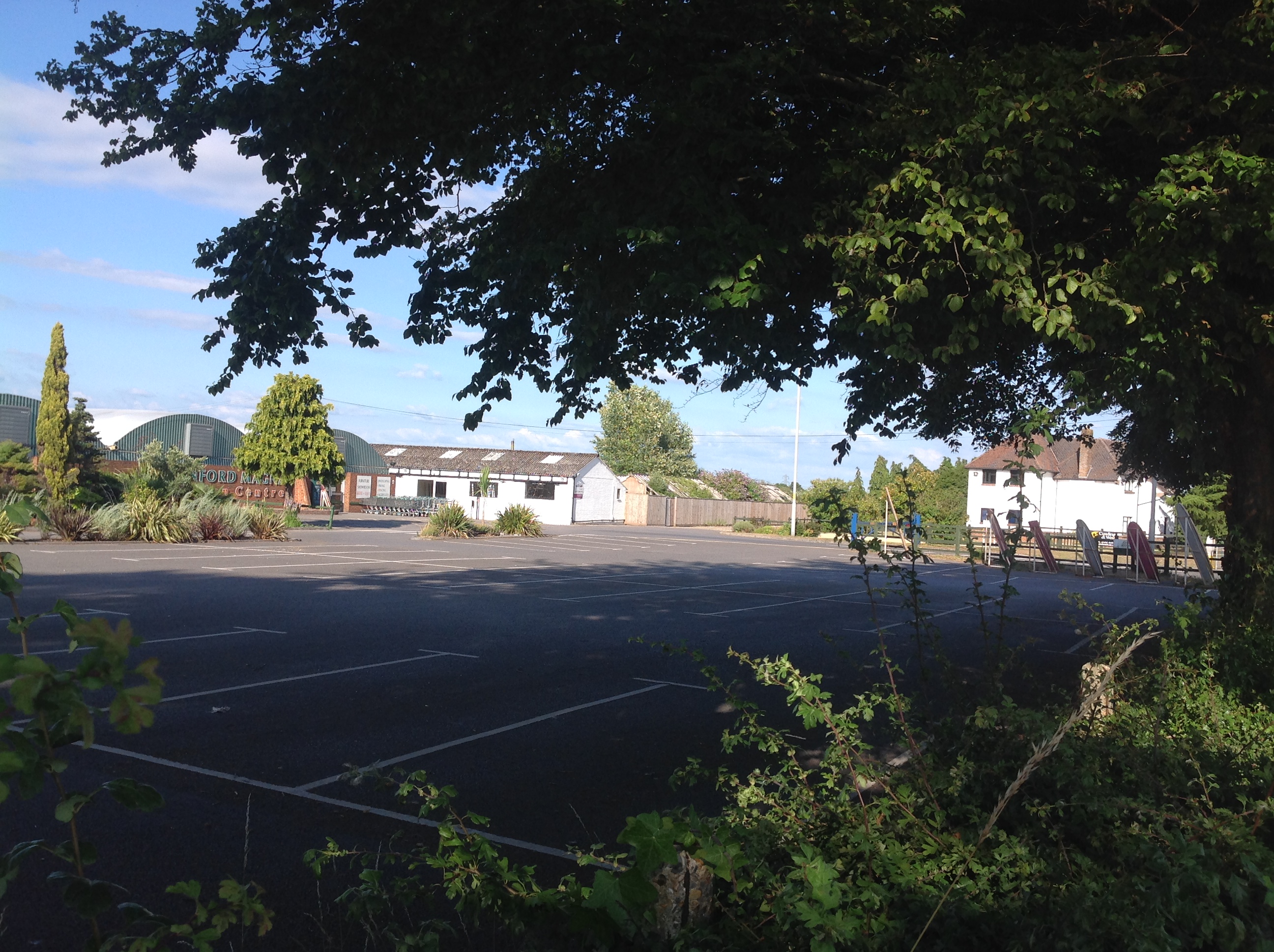
Canford Magna Garden Centre, 13/07/2014 |
Class31 |
Monday 14th of July 2014 07:31:15 PM |

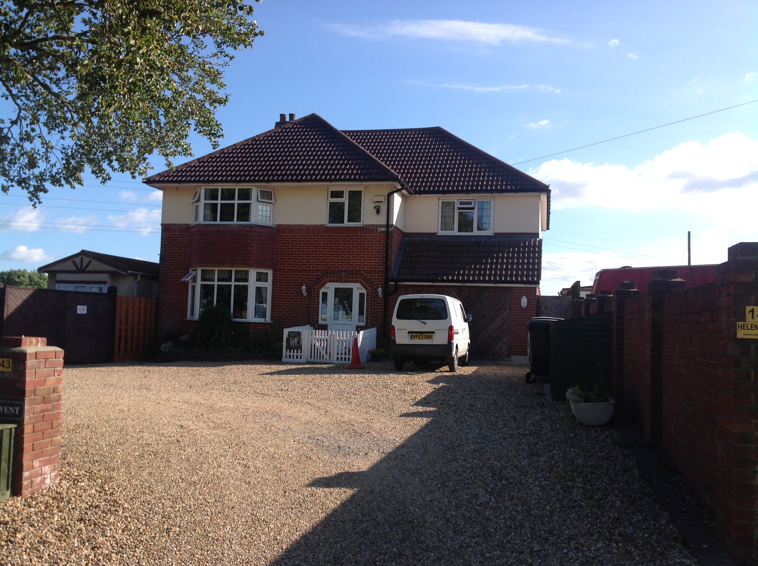
Rydal Mount from the A341, 13/07/2014 |
Class31 |
Monday 14th of July 2014 07:29:18 PM |
Rydal Mount from the A341, 13/07/2014 |
Class31 |
Monday 14th of July 2014 07:28:19 PM |
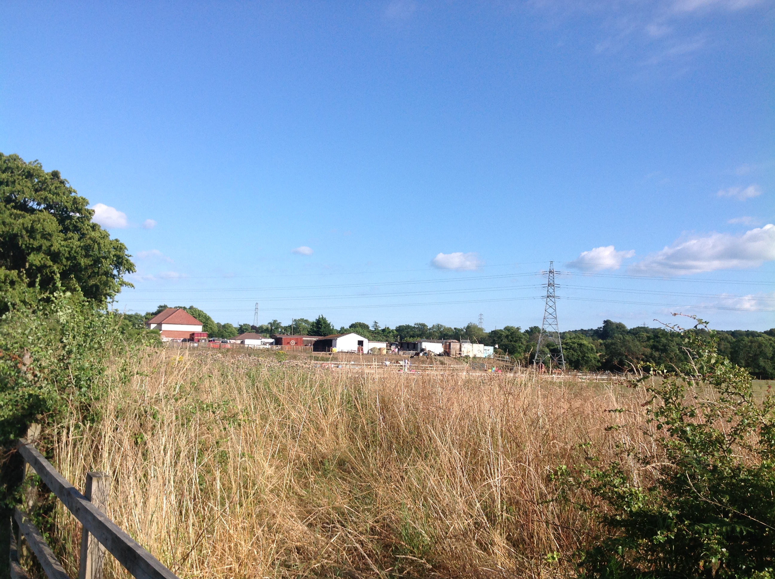
Derwent from the A341 road, 13/07/2014 |
Class31 |
Monday 14th of July 2014 07:27:17 PM |
EAW034647 to EAW034657 cover the same area and were taken the same day. |
Class31 |
Friday 27th of June 2014 05:04:45 PM |
We'll update the catalogue and post the new location data here in due course. It's nice to get this set onto the map. Yours, Katy Britain from Above Cataloguing Team Leader |
Katy Whitaker |
Friday 27th of June 2014 05:04:45 PM |