
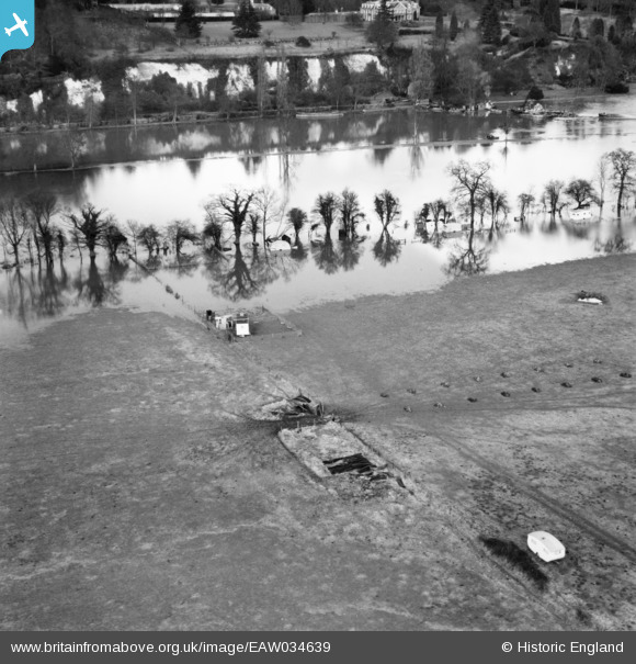
EAW034639 ENGLAND (1951). The River Thames in flood at the Caravan Park, Hurley, 1951
© Copyright OpenStreetMap contributors and licensed by the OpenStreetMap Foundation. 2025. Cartography is licensed as CC BY-SA.
Nearby Images (4)
EAW034639

EAW034255

EAW034256

EAW034640

Details
| Title | [EAW034639] The River Thames in flood at the Caravan Park, Hurley, 1951 |
| Reference | EAW034639 |
| Date | 12-February-1951 |
| Link | |
| Place name | HURLEY |
| Parish | HURLEY |
| District | |
| Country | ENGLAND |
| Easting / Northing | 481956, 183984 |
| Longitude / Latitude | -0.81791209698281, 51.548310796484 |
| National Grid Reference | SU820840 |
Pins
Be the first to add a comment to this image!