
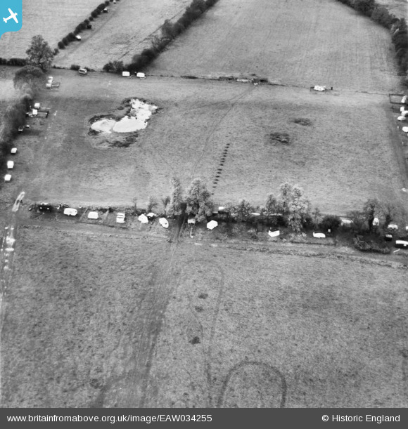
EAW034255 ENGLAND (1950). Caravan site near Hurley Farm, Hurley, 1950
© Copyright OpenStreetMap contributors and licensed by the OpenStreetMap Foundation. 2025. Cartography is licensed as CC BY-SA.
Nearby Images (6)
EAW034255

EAW034256

EAW034640

EAW034639

EAW034637

EAW034638

Details
| Title | [EAW034255] Caravan site near Hurley Farm, Hurley, 1950 |
| Reference | EAW034255 |
| Date | 14-November-1950 |
| Link | |
| Place name | HURLEY |
| Parish | HURLEY |
| District | |
| Country | ENGLAND |
| Easting / Northing | 482119, 183964 |
| Longitude / Latitude | -0.81556628508212, 51.548107281939 |
| National Grid Reference | SU821840 |
Pins
Be the first to add a comment to this image!