
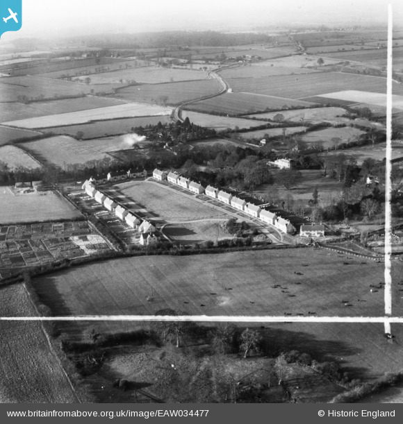
EAW034477 ENGLAND (1951). Meadow Close, Lavenham, from the east, 1951. This image has been produced from a print marked by Aerofilms Ltd for photo editing.
© Copyright OpenStreetMap contributors and licensed by the OpenStreetMap Foundation. 2026. Cartography is licensed as CC BY-SA.
Nearby Images (10)
EAW034477

EAW034479

EAW034480

EAW034474

EAW034482

EAW034476

EAW034481

EAW034478

EAW034475

EAW033350

Details
| Title | [EAW034477] Meadow Close, Lavenham, from the east, 1951. This image has been produced from a print marked by Aerofilms Ltd for photo editing. |
| Reference | EAW034477 |
| Date | 15-January-1951 |
| Link | |
| Place name | LAVENHAM |
| Parish | LAVENHAM |
| District | |
| Country | ENGLAND |
| Easting / Northing | 591597, 248787 |
| Longitude / Latitude | 0.79791662755558, 52.103767020126 |
| National Grid Reference | TL916488 |
Pins

Matt Aldred edob.mattaldred.com |
Monday 28th of April 2025 10:32:33 AM |