
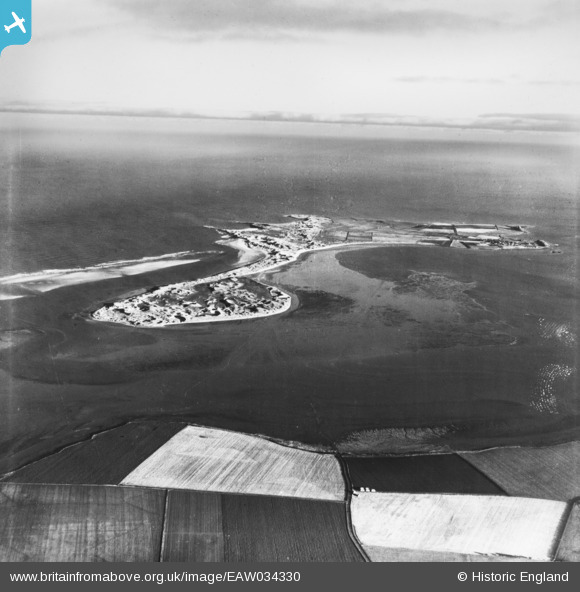
EAW034330 ENGLAND (1950). Holy Island, Holy Island, from the west, 1950. This image has been produced from a print.
© Copyright OpenStreetMap contributors and licensed by the OpenStreetMap Foundation. 2026. Cartography is licensed as CC BY-SA.
Nearby Images (2)
EAW034330

EAW034333

Details
| Title | [EAW034330] Holy Island, Holy Island, from the west, 1950. This image has been produced from a print. |
| Reference | EAW034330 |
| Date | 25-November-1950 |
| Link | |
| Place name | HOLY ISLAND |
| Parish | HOLY ISLAND |
| District | |
| Country | ENGLAND |
| Easting / Northing | 408579, 642796 |
| Longitude / Latitude | -1.8635618660652, 55.678586625101 |
| National Grid Reference | NU086428 |
Pins

Matt Aldred edob.mattaldred.com |
Thursday 31st of December 2020 03:29:20 PM | |
|
Matt Aldred edob.mattaldred.com |
Thursday 31st of December 2020 03:26:05 PM | |
|
Matt Aldred edob.mattaldred.com |
Thursday 31st of December 2020 03:25:46 PM |