
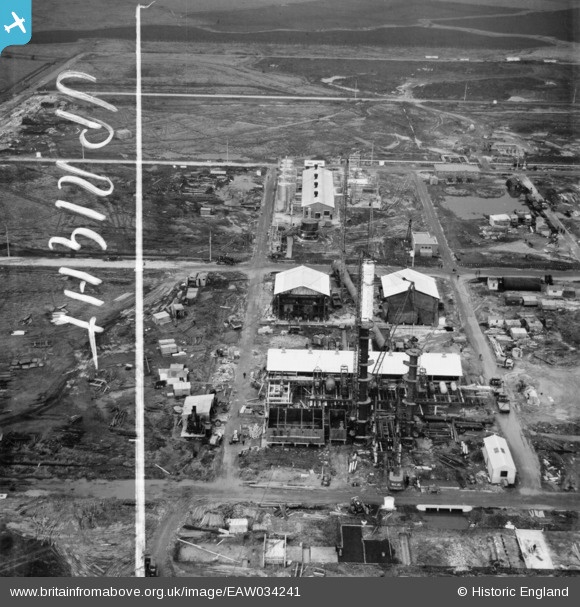
EAW034241 ENGLAND (1950). Part of the Shell Haven Oil Refinery, Corringham, 1950. This image was marked by Aerofilms Ltd for photo editing.
© Copyright OpenStreetMap contributors and licensed by the OpenStreetMap Foundation. 2026. Cartography is licensed as CC BY-SA.
Nearby Images (26)
EAW034241

EAW034243

EAW034244

EAW029137

EAW031740

EAW031743

EAW031742

EAW034245

EAW034242

EAW031741

EAW034240

EAW026775

EAW026776

EAW026773

EAW026774

EAW024623

EAW027732

EAW027717

EAW024622

EAW026769

EAW024618

EAW027734

EAW026768

EAW024617

EAW024620

EAW024619

Details
| Title | [EAW034241] Part of the Shell Haven Oil Refinery, Corringham, 1950. This image was marked by Aerofilms Ltd for photo editing. |
| Reference | EAW034241 |
| Date | 13-November-1950 |
| Link | |
| Place name | CORRINGHAM |
| Parish | |
| District | |
| Country | ENGLAND |
| Easting / Northing | 571501, 181827 |
| Longitude / Latitude | 0.47162905719393, 51.508825044472 |
| National Grid Reference | TQ715818 |
Pins

Billy Turner |
Saturday 9th of April 2016 04:00:26 PM |
