
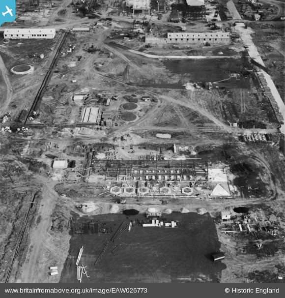
EAW026773 ENGLAND (1949). Part of the Shell Haven Oil Refinery under construction, Corringham, 1949
© Copyright OpenStreetMap contributors and licensed by the OpenStreetMap Foundation. 2026. Cartography is licensed as CC BY-SA.
Nearby Images (40)
EAW026773

EAW026775

EAW026776

EAW026774

EAW024623

EAW034245

EAW031741

EAW031743

EAW034240

EAW031740

EAW031742

EAW029137

EAW034242

EAW034244

EAW034243

EAW034241

EAW024622

EAW027734

EAW024617

EAW027717

EAW024620

EAW024619

EAW026768

EAW026769

EAW024618

EAW034220

EAW027724

EAW024621

EAW027721

EAW031746

EAW034222

EAW031745

EAW029139

EAW031747

EAW031775

EAW034221

EAW026772

EAW026771

EAW027718

EAW026770

Details
| Title | [EAW026773] Part of the Shell Haven Oil Refinery under construction, Corringham, 1949 |
| Reference | EAW026773 |
| Date | 3-October-1949 |
| Link | |
| Place name | CORRINGHAM |
| Parish | |
| District | |
| Country | ENGLAND |
| Easting / Northing | 571538, 181952 |
| Longitude / Latitude | 0.47222257538581, 51.509936826926 |
| National Grid Reference | TQ715820 |
Pins
Be the first to add a comment to this image!