
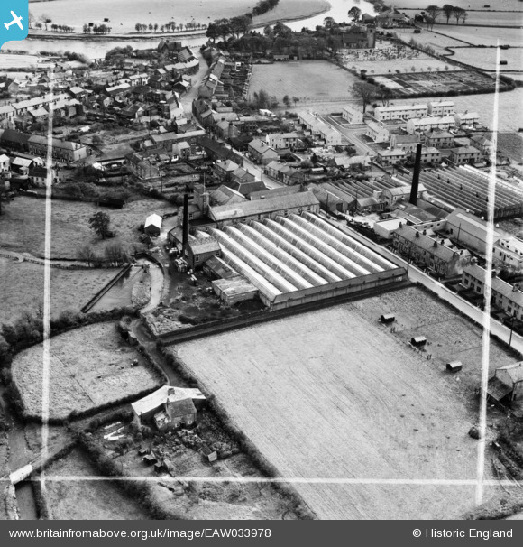
EAW033978 ENGLAND (1950). The Ribblesdale Mill and environs, Ribchester, 1950. This image was marked by Aerofilms Ltd for photo editing.
© Copyright OpenStreetMap contributors and licensed by the OpenStreetMap Foundation. 2026. Cartography is licensed as CC BY-SA.
Nearby Images (8)
EAW033978

EAW033981

EAW033979

EAW033975

EAW033977

EAW033976

EAW033974

EAW033980

Details
| Title | [EAW033978] The Ribblesdale Mill and environs, Ribchester, 1950. This image was marked by Aerofilms Ltd for photo editing. |
| Reference | EAW033978 |
| Date | 14-October-1950 |
| Link | |
| Place name | RIBCHESTER |
| Parish | RIBCHESTER |
| District | |
| Country | ENGLAND |
| Easting / Northing | 364871, 435468 |
| Longitude / Latitude | -2.5335946978457, 53.814095090094 |
| National Grid Reference | SD649355 |
Pins
Be the first to add a comment to this image!