
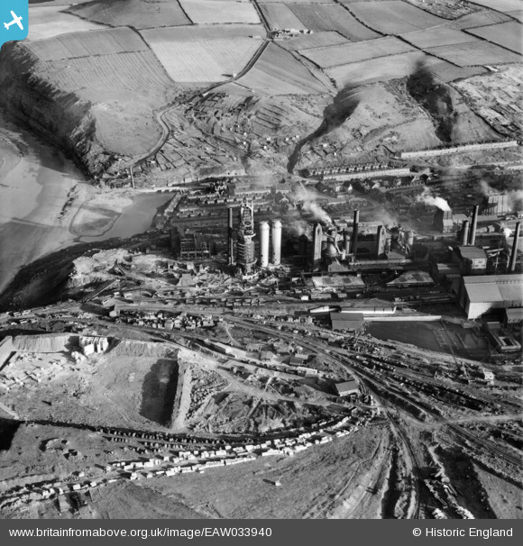
EAW033940 ENGLAND (1950). The Skinningrove Iron Co Ltd Works, Skinningrove, 1950
© Copyright OpenStreetMap contributors and licensed by the OpenStreetMap Foundation. 2026. Cartography is licensed as CC BY-SA.
Nearby Images (7)
EAW033940

EAW033942

EAW033944

EAW033938

EAW033943

EAW033939

EAW033941

Details
| Title | [EAW033940] The Skinningrove Iron Co Ltd Works, Skinningrove, 1950 |
| Reference | EAW033940 |
| Date | October-1950 |
| Link | |
| Place name | SKINNINGROVE |
| Parish | LOFTUS |
| District | |
| Country | ENGLAND |
| Easting / Northing | 471054, 520075 |
| Longitude / Latitude | -0.90080825727098, 54.570773115552 |
| National Grid Reference | NZ711201 |
