
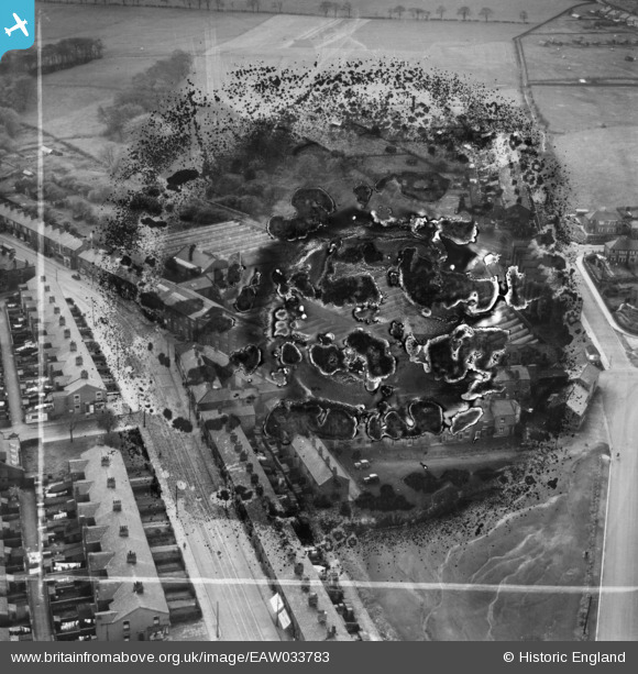
EAW033783 ENGLAND (1950). Ewood Mill (site of), Ewood, 1950. This image has been produced from a damaged negative.
© Copyright OpenStreetMap contributors and licensed by the OpenStreetMap Foundation. 2026. Cartography is licensed as CC BY-SA.
Nearby Images (12)
EAW033783
, Ewood, 1950. This image has been produced from a damaged negative.")
EAW033786

EAW033787

EAW033789

EAW033790

EAW033782

EAW033785

EAW033784

EAW033791

EAW033792

EAW033788
, Ewood, 1950. This image was marked by Aerofilms Ltd for photo editing.")
EPW025178

Details
| Title | [EAW033783] Ewood Mill (site of), Ewood, 1950. This image has been produced from a damaged negative. |
| Reference | EAW033783 |
| Date | 16-October-1950 |
| Link | |
| Place name | EWOOD |
| Parish | |
| District | |
| Country | ENGLAND |
| Easting / Northing | 367629, 425915 |
| Longitude / Latitude | -2.4907011509747, 53.728404854782 |
| National Grid Reference | SD676259 |
Pins
Be the first to add a comment to this image!