
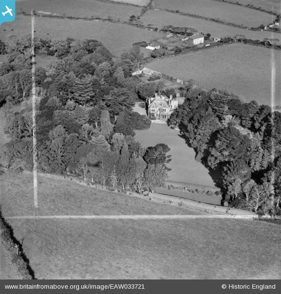
EAW033721 ENGLAND (1950). Penmorva, Budock Water, 1950. This image was marked by Aerofilms Ltd for photo editing.
© Copyright OpenStreetMap contributors and licensed by the OpenStreetMap Foundation. 2026. Cartography is licensed as CC BY-SA.
Nearby Images (4)
EAW033721

EAW033723

EAW033722

EAW033720

Details
| Title | [EAW033721] Penmorva, Budock Water, 1950. This image was marked by Aerofilms Ltd for photo editing. |
| Reference | EAW033721 |
| Date | 16-October-1950 |
| Link | |
| Place name | BUDOCK WATER |
| Parish | BUDOCK |
| District | |
| Country | ENGLAND |
| Easting / Northing | 178242, 30809 |
| Longitude / Latitude | -5.1035575166165, 50.135204481906 |
| National Grid Reference | SW782308 |
Pins

CornwallPhil |
Tuesday 17th of June 2014 11:25:21 AM |
User Comment Contributions

Barrage Balloon RAF Flight Headquarters |
CornwallPhil |
Tuesday 17th of June 2014 11:26:27 AM |