
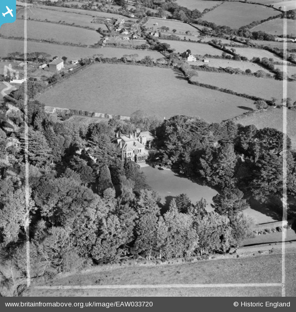
EAW033720 ENGLAND (1950). Penmorva, Budock Water, 1950. This image was marked by Aerofilms Ltd for photo editing.
© Copyright OpenStreetMap contributors and licensed by the OpenStreetMap Foundation. 2026. Cartography is licensed as CC BY-SA.
Nearby Images (4)
EAW033720

EAW033722

EAW033723

EAW033721

Details
| Title | [EAW033720] Penmorva, Budock Water, 1950. This image was marked by Aerofilms Ltd for photo editing. |
| Reference | EAW033720 |
| Date | 16-October-1950 |
| Link | |
| Place name | BUDOCK WATER |
| Parish | BUDOCK |
| District | |
| Country | ENGLAND |
| Easting / Northing | 178255, 30861 |
| Longitude / Latitude | -5.1034061000887, 50.135676374194 |
| National Grid Reference | SW783309 |
Pins
Be the first to add a comment to this image!