
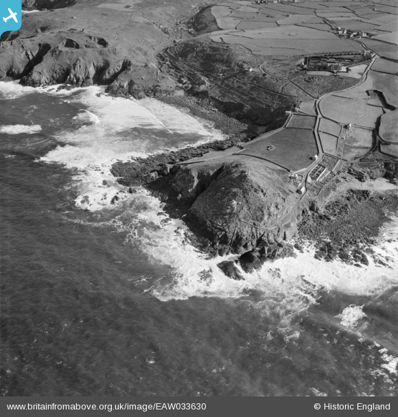
EAW033630 ENGLAND (1950). Cape Cornwall and Porth Ledden, St Just, 1950
© Copyright OpenStreetMap contributors and licensed by the OpenStreetMap Foundation. 2025. Cartography is licensed as CC BY-SA.
Nearby Images (3)
EAW033630

EAW033629

EPW059878

Details
| Title | [EAW033630] Cape Cornwall and Porth Ledden, St Just, 1950 |
| Reference | EAW033630 |
| Date | 12-October-1950 |
| Link | |
| Place name | ST JUST |
| Parish | ST. JUST |
| District | |
| Country | ENGLAND |
| Easting / Northing | 135023, 31893 |
| Longitude / Latitude | -5.7079379030923, 50.127212548182 |
| National Grid Reference | SW350319 |
Pins
Be the first to add a comment to this image!