
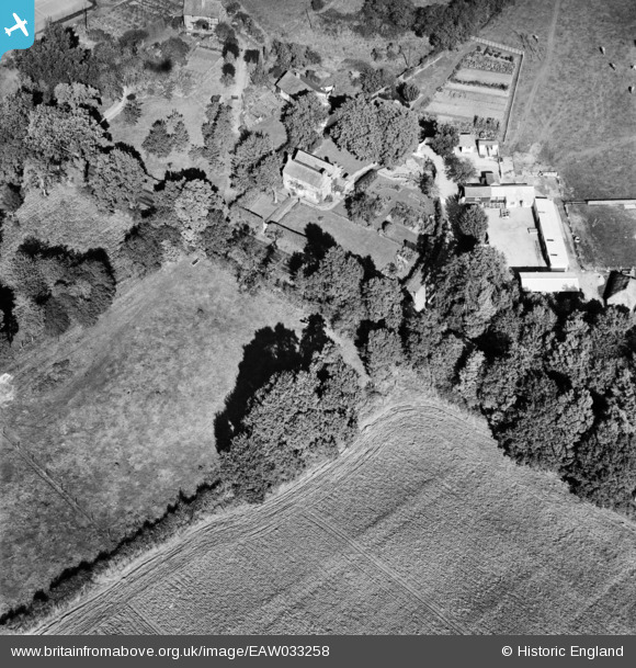
EAW033258 ENGLAND (1950). Kempwood Farm and House, Cane End, 1950
© Copyright OpenStreetMap contributors and licensed by the OpenStreetMap Foundation. 2026. Cartography is licensed as CC BY-SA.
Nearby Images (16)
EAW033258

EAW033256

EAW033250

EAW033254

EAW033253

EAW033257

EAW033255

EAW033252

EAW033249

EAW033245

EAW033246

EAW033247

EAW033248

EAW033243

EAW033244

EAW033251

Details
| Title | [EAW033258] Kempwood Farm and House, Cane End, 1950 |
| Reference | EAW033258 |
| Date | 5-October-1950 |
| Link | |
| Place name | CANE END |
| Parish | KIDMORE END |
| District | |
| Country | ENGLAND |
| Easting / Northing | 467225, 179903 |
| Longitude / Latitude | -1.0311268462852, 51.513565714967 |
| National Grid Reference | SU672799 |
Pins
Be the first to add a comment to this image!