
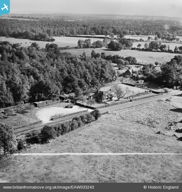
EAW033243 ENGLAND (1950). Walnut Tree Cottage and the surrounding countryside, Cane End, from the west, 1950. This image was marked by Aerofilms Ltd for photo editing.
© Copyright OpenStreetMap contributors and licensed by the OpenStreetMap Foundation. 2026. Cartography is licensed as CC BY-SA.
Nearby Images (15)
EAW033243

EAW033248

EAW033245

EAW033247

EAW033246

EAW033249

EAW033244

EAW033250

EAW033258

EAW033254

EAW033256

EAW033252

EAW033255

EAW033253

EAW033257

Details
| Title | [EAW033243] Walnut Tree Cottage and the surrounding countryside, Cane End, from the west, 1950. This image was marked by Aerofilms Ltd for photo editing. |
| Reference | EAW033243 |
| Date | 5-October-1950 |
| Link | |
| Place name | CANE END |
| Parish | KIDMORE END |
| District | |
| Country | ENGLAND |
| Easting / Northing | 467060, 180061 |
| Longitude / Latitude | -1.0334744598365, 51.515005939907 |
| National Grid Reference | SU671801 |
Pins
Be the first to add a comment to this image!