
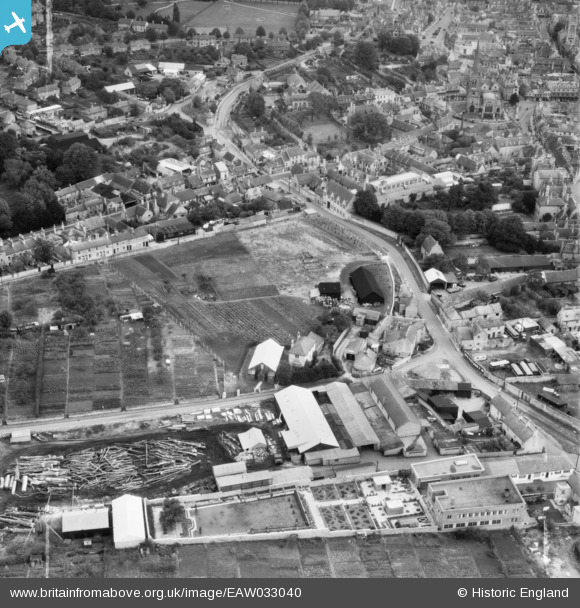
EAW033040 ENGLAND (1950). West Street and environs, Stamford, 1950. This image was marked by Aerofilms Ltd for photo editing.
© Copyright OpenStreetMap contributors and licensed by the OpenStreetMap Foundation. 2026. Cartography is licensed as CC BY-SA.
Nearby Images (20)
EAW033040

EAW033038

EAW033036

EAW033039

EAW033037

EAW033034

EAW033035

EAW033032

EAW033031

EAW043853

EAW043858

EAW043855

EAW043851

EAW043854

EAW033033

EAW043852

EAW043857

EAW043856

EAW033045

EAW033046

Details
| Title | [EAW033040] West Street and environs, Stamford, 1950. This image was marked by Aerofilms Ltd for photo editing. |
| Reference | EAW033040 |
| Date | 3-October-1950 |
| Link | |
| Place name | STAMFORD |
| Parish | STAMFORD |
| District | |
| Country | ENGLAND |
| Easting / Northing | 502518, 307116 |
| Longitude / Latitude | -0.48437092977618, 52.651723383866 |
| National Grid Reference | TF025071 |
Pins

Matt Aldred edob.mattaldred.com |
Wednesday 6th of March 2024 07:14:36 PM |