
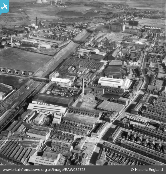
EAW032723 ENGLAND (1950). The J. Gerrard and Sons Ltd Works off Pendlebury Road, Swinton, 1950. This image was marked by Aerofilms Ltd for photo editing.
© Copyright OpenStreetMap contributors and licensed by the OpenStreetMap Foundation. 2026. Cartography is licensed as CC BY-SA.
Nearby Images (22)
EAW032723

EAW032727

EAW032726

EPW018859

EAW032720
, Swinton, 1950. This image was marked by Aerofilms Ltd for photo editing.")
EAW032725
, Swinton, 1950. This image was marked by Aerofilms Ltd for photo editing.")
EAW032717

EAW000887

EAW032724
, Swinton, 1950. This image was marked by Aerofilms Ltd for photo editing.")
EPW018860

EAW000880

EAW032719
, Swinton, 1950. This image was marked by Aerofilms Ltd for photo editing.")
EAW032718

EAW032721
, Swinton, 1950. This image was marked by Aerofilms Ltd for photo editing.")
EAW000882

EAW000884

EAW000885

EAW000883

EAW032722
, Swinton, 1950. This image was marked by Aerofilms Ltd for photo editing.")
EAW000886

EAW000888

EAW000881

Details
| Title | [EAW032723] The J. Gerrard and Sons Ltd Works off Pendlebury Road, Swinton, 1950. This image was marked by Aerofilms Ltd for photo editing. |
| Reference | EAW032723 |
| Date | 16-September-1950 |
| Link | |
| Place name | SWINTON |
| Parish | |
| District | |
| Country | ENGLAND |
| Easting / Northing | 378002, 401884 |
| Longitude / Latitude | -2.331765700972, 53.512927797845 |
| National Grid Reference | SD780019 |
Pins

David |
Wednesday 26th of April 2023 04:39:59 PM | |
|
David |
Wednesday 26th of April 2023 04:38:29 PM | |
|
Lauren |
Monday 30th of March 2020 09:32:13 AM | |
|
Lauren |
Monday 30th of March 2020 09:31:24 AM | |
|
boltie |
Tuesday 24th of March 2015 09:42:47 PM |