
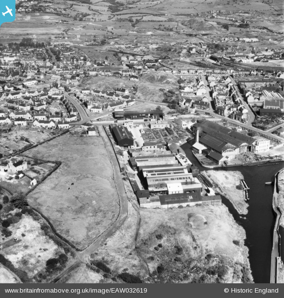
EAW032619 ENGLAND (1950). The Clydesdale Stamping Co Ltd Atlas Works and Lloyds Proving House, Primrose Hill, 1950
© Copyright OpenStreetMap contributors and licensed by the OpenStreetMap Foundation. 2026. Cartography is licensed as CC BY-SA.
Nearby Images (9)
EAW032619

EAW032612

EAW032616

EAW032614

EAW032615

EAW032613

EAW032618

EAW032617

EAW032620

Details
| Title | [EAW032619] The Clydesdale Stamping Co Ltd Atlas Works and Lloyds Proving House, Primrose Hill, 1950 |
| Reference | EAW032619 |
| Date | 18-September-1950 |
| Link | |
| Place name | PRIMROSE HILL |
| Parish | |
| District | |
| Country | ENGLAND |
| Easting / Northing | 394412, 287506 |
| Longitude / Latitude | -2.082298084674, 52.485076182742 |
| National Grid Reference | SO944875 |
Pins

PJ |
Friday 21st of February 2020 07:57:35 PM |