
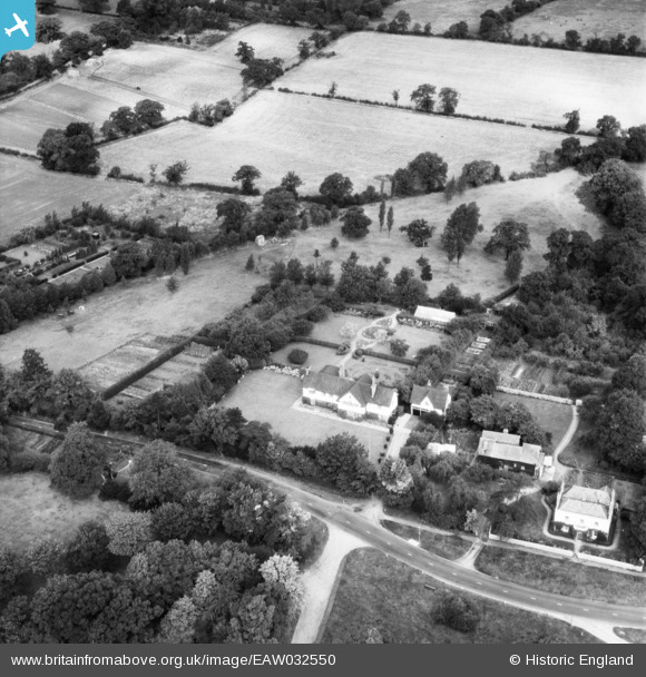
EAW032550 ENGLAND (1950). Farmleigh and the surrounding countryside, Totteridge, 1950
© Copyright OpenStreetMap contributors and licensed by the OpenStreetMap Foundation. 2026. Cartography is licensed as CC BY-SA.
Nearby Images (5)
EAW032550

EAW032548

EAW032547

EAW032546

EAW032549

Details
| Title | [EAW032550] Farmleigh and the surrounding countryside, Totteridge, 1950 |
| Reference | EAW032550 |
| Date | 12-September-1950 |
| Link | |
| Place name | TOTTERIDGE |
| Parish | |
| District | |
| Country | ENGLAND |
| Easting / Northing | 522499, 193975 |
| Longitude / Latitude | -0.22990485964778, 51.630764964902 |
| National Grid Reference | TQ225940 |
Pins
Be the first to add a comment to this image!