
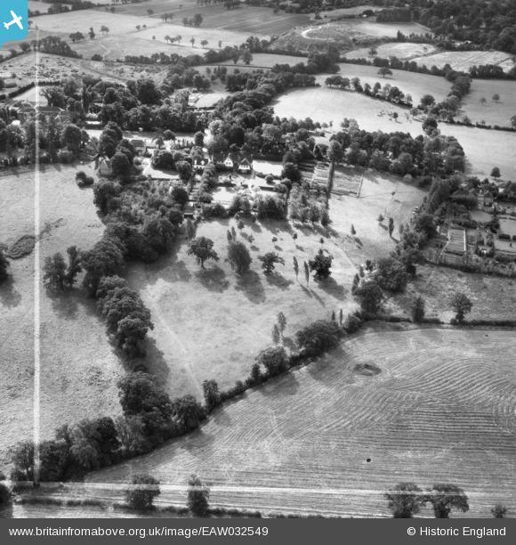
EAW032549 ENGLAND (1950). Farmleigh and the surrounding countryside, Totteridge, 1950. This image was marked by Aerofilms Ltd for photo editing.
© Copyright OpenStreetMap contributors and licensed by the OpenStreetMap Foundation. 2026. Cartography is licensed as CC BY-SA.
Nearby Images (5)
EAW032549

EAW032548

EAW032550

EAW032547

EAW032546

Details
| Title | [EAW032549] Farmleigh and the surrounding countryside, Totteridge, 1950. This image was marked by Aerofilms Ltd for photo editing. |
| Reference | EAW032549 |
| Date | 12-September-1950 |
| Link | |
| Place name | TOTTERIDGE |
| Parish | |
| District | |
| Country | ENGLAND |
| Easting / Northing | 522502, 194042 |
| Longitude / Latitude | -0.22983808584658, 51.63136650826 |
| National Grid Reference | TQ225940 |
Pins
Be the first to add a comment to this image!