
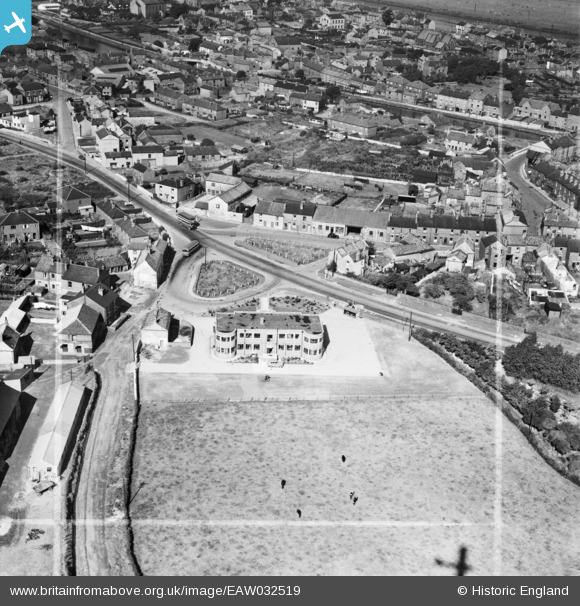
EAW032519 ENGLAND (1950). Harker House and the surrounding area, Knottingley, 1950. This image was marked by Aerofilms Ltd for photo editing.
© Copyright OpenStreetMap contributors and licensed by the OpenStreetMap Foundation. 2026. Cartography is licensed as CC BY-SA.
Nearby Images (13)
EAW032519

EAW032518

EAW032520

EAW032523

EAW032528

EAW032524

EAW032517

EPW034150

EAW032527

EAW032526

EAW032522

EAW032525

EAW032521

Details
| Title | [EAW032519] Harker House and the surrounding area, Knottingley, 1950. This image was marked by Aerofilms Ltd for photo editing. |
| Reference | EAW032519 |
| Date | 5-September-1950 |
| Link | |
| Place name | KNOTTINGLEY |
| Parish | |
| District | |
| Country | ENGLAND |
| Easting / Northing | 450721, 423716 |
| Longitude / Latitude | -1.2315202959607, 53.707177836637 |
| National Grid Reference | SE507237 |
Pins

Sharon Smith |
Thursday 31st of December 2015 05:41:21 PM |