
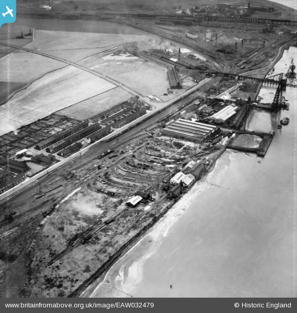
EAW032479 ENGLAND (1950). The Anderston Iron Foundry, Port Clarence, 1950
© Copyright OpenStreetMap contributors and licensed by the OpenStreetMap Foundation. 2026. Cartography is licensed as CC BY-SA.
Nearby Images (10)
EAW032479

EAW032483

EAW032480

EAW032481

EAW032477

EAW032482

EAW032476

EAW032478

EAW032484

EAW032485

Details
| Title | [EAW032479] The Anderston Iron Foundry, Port Clarence, 1950 |
| Reference | EAW032479 |
| Date | 30-August-1950 |
| Link | |
| Place name | PORT CLARENCE |
| Parish | BILLINGHAM |
| District | |
| Country | ENGLAND |
| Easting / Northing | 449844, 521608 |
| Longitude / Latitude | -1.2286226991632, 54.58708544306 |
| National Grid Reference | NZ498216 |
Pins

J May |
Thursday 23rd of June 2022 06:13:08 PM |