
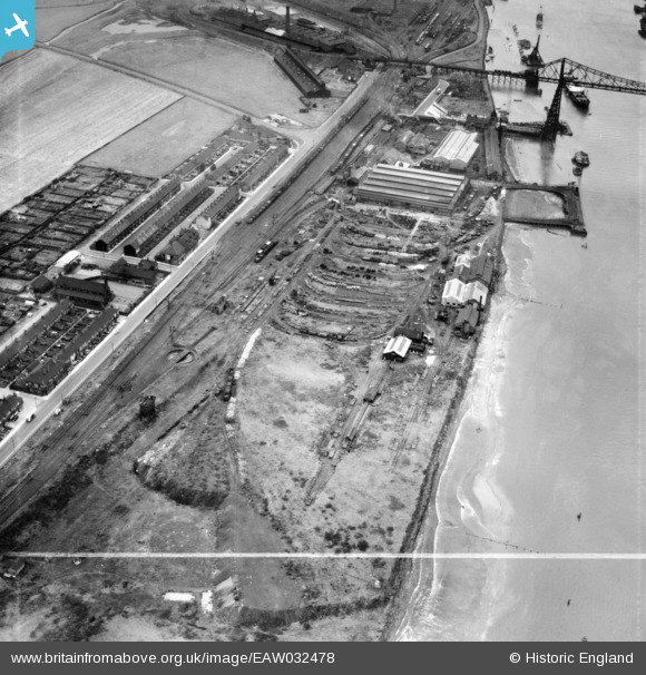
EAW032478 ENGLAND (1950). The Anderston Iron Foundry, Port Clarence, 1950. This image was marked by Aerofilms Ltd for photo editing.
© Copyright OpenStreetMap contributors and licensed by the OpenStreetMap Foundation. 2026. Cartography is licensed as CC BY-SA.
Nearby Images (10)
EAW032478

EAW032479

EAW032483

EAW032480

EAW032477

EAW032482

EAW032481

EAW032476

EAW032484

EAW032485

Details
| Title | [EAW032478] The Anderston Iron Foundry, Port Clarence, 1950. This image was marked by Aerofilms Ltd for photo editing. |
| Reference | EAW032478 |
| Date | 30-August-1950 |
| Link | |
| Place name | PORT CLARENCE |
| Parish | BILLINGHAM |
| District | |
| Country | ENGLAND |
| Easting / Northing | 449738, 521649 |
| Longitude / Latitude | -1.2302560256503, 54.58746435296 |
| National Grid Reference | NZ497216 |
Pins

J May |
Friday 24th of August 2018 06:15:46 PM |