
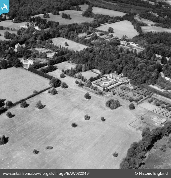
EAW032349 ENGLAND (1950). Fulmer Grange and environs, Wexham Street, 1950
© Copyright OpenStreetMap contributors and licensed by the OpenStreetMap Foundation. 2025. Cartography is licensed as CC BY-SA.
Nearby Images (8)
EAW032349

EAW032346

EAW032352

EAW032347

EAW032353

EAW032348

EAW032351

EAW032350

Details
| Title | [EAW032349] Fulmer Grange and environs, Wexham Street, 1950 |
| Reference | EAW032349 |
| Date | 7-September-1950 |
| Link | |
| Place name | WEXHAM STREET |
| Parish | WEXHAM |
| District | |
| Country | ENGLAND |
| Easting / Northing | 499634, 184389 |
| Longitude / Latitude | -0.56289835177314, 51.549106498151 |
| National Grid Reference | SU996844 |
Pins
Be the first to add a comment to this image!