
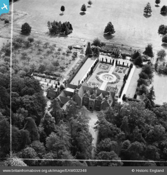
EAW032348 ENGLAND (1950). Fulmer Grange, Wexham Street, 1950. This image was marked by Aerofilms Ltd for photo editing.
© Copyright OpenStreetMap contributors and licensed by the OpenStreetMap Foundation. 2025. Cartography is licensed as CC BY-SA.
Nearby Images (8)
EAW032348

EAW032347

EAW032352

EAW032346

EAW032351

EAW032349

EAW032353

EAW032350

Details
| Title | [EAW032348] Fulmer Grange, Wexham Street, 1950. This image was marked by Aerofilms Ltd for photo editing. |
| Reference | EAW032348 |
| Date | 7-September-1950 |
| Link | |
| Place name | WEXHAM STREET |
| Parish | WEXHAM |
| District | |
| Country | ENGLAND |
| Easting / Northing | 499680, 184444 |
| Longitude / Latitude | -0.56221949309487, 51.549592799666 |
| National Grid Reference | SU997844 |
Pins
Be the first to add a comment to this image!