
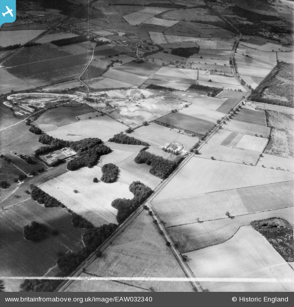
EAW032340 ENGLAND (1950). Old Park, the Great North Road and Home Farm, Rossington, 1950. This image was marked by Aerofilms Ltd for photo editing.
© Copyright OpenStreetMap contributors and licensed by the OpenStreetMap Foundation. 2026. Cartography is licensed as CC BY-SA.
Nearby Images (11)
EAW032340

EAW032342

EAW032344

EAW032345

EAW032337

EAW032338

EAW032343

EPW054470

EAW032339

EPW054472

EAW032341

Details
| Title | [EAW032340] Old Park, the Great North Road and Home Farm, Rossington, 1950. This image was marked by Aerofilms Ltd for photo editing. |
| Reference | EAW032340 |
| Date | 5-September-1950 |
| Link | |
| Place name | ROSSINGTON |
| Parish | ROSSINGTON |
| District | |
| Country | ENGLAND |
| Easting / Northing | 463916, 397528 |
| Longitude / Latitude | -1.0369959278622, 53.47034980082 |
| National Grid Reference | SK639975 |
Pins

rossobantam |
Thursday 22nd of July 2021 10:03:56 PM | |

redmist |
Tuesday 6th of November 2018 01:28:26 PM |