
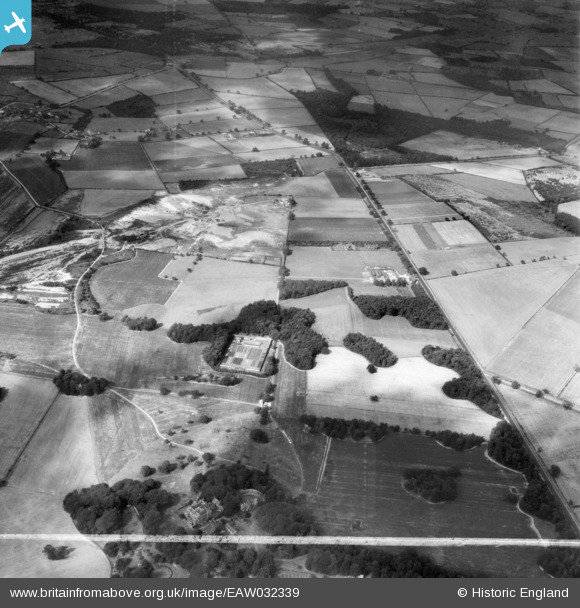
EAW032339 ENGLAND (1950). Old Park, the Great North Road and Home Farm, Rossington, 1950. This image was marked by Aerofilms Ltd for photo editing.
© Copyright OpenStreetMap contributors and licensed by the OpenStreetMap Foundation. 2026. Cartography is licensed as CC BY-SA.
Nearby Images (11)
EAW032339

EAW032341

EAW032340

EAW032342

EPW054474

EAW032344

EAW032345

EAW032337

EAW032338

EAW032343

EPW054470

Details
| Title | [EAW032339] Old Park, the Great North Road and Home Farm, Rossington, 1950. This image was marked by Aerofilms Ltd for photo editing. |
| Reference | EAW032339 |
| Date | 5-September-1950 |
| Link | |
| Place name | ROSSINGTON |
| Parish | ROSSINGTON |
| District | |
| Country | ENGLAND |
| Easting / Northing | 463795, 397455 |
| Longitude / Latitude | -1.0388335436097, 53.469708335231 |
| National Grid Reference | SK638975 |
Pins

rossobantam |
Wednesday 1st of February 2023 07:35:32 PM | |

redmist |
Tuesday 6th of November 2018 01:25:59 PM | |
|
rossobantam |
Friday 3rd of April 2015 03:53:03 PM | |
|
rossobantam |
Friday 3rd of April 2015 03:51:51 PM | |
|
rossobantam |
Friday 3rd of April 2015 03:50:22 PM | |
|
rossobantam |
Friday 3rd of April 2015 03:49:10 PM | |
|
rossobantam |
Friday 3rd of April 2015 03:45:21 PM | |
|
rossobantam |
Friday 3rd of April 2015 03:44:00 PM | |
|
rossobantam |
Friday 3rd of April 2015 03:43:00 PM | |
|
Farm Buildings |
Friday 27th of June 2014 08:48:22 PM | |
|
Farm Buildings |
Friday 27th of June 2014 08:45:20 PM |