
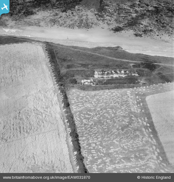
EAW031870 ENGLAND (1950). A rifle butt in the West Runton Ranges, West Runton, 1950
© Copyright OpenStreetMap contributors and licensed by the OpenStreetMap Foundation. 2026. Cartography is licensed as CC BY-SA.
Nearby Images (4)
EAW031870

EAW031868

EAW031871

EAW031869

Details
| Title | [EAW031870] A rifle butt in the West Runton Ranges, West Runton, 1950 |
| Reference | EAW031870 |
| Date | 14-August-1950 |
| Link | |
| Place name | WEST RUNTON |
| Parish | RUNTON |
| District | |
| Country | ENGLAND |
| Easting / Northing | 618230, 343140 |
| Longitude / Latitude | 1.2481621191669, 52.940888762806 |
| National Grid Reference | TG182431 |
Pins
Be the first to add a comment to this image!