
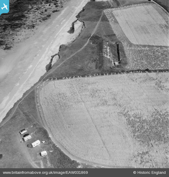
EAW031869 ENGLAND (1950). A rifle butt in the West Runton Ranges, West Runton, 1950
© Copyright OpenStreetMap contributors and licensed by the OpenStreetMap Foundation. 2026. Cartography is licensed as CC BY-SA.
Nearby Images (4)
EAW031869

EAW031870

EAW031871

EAW031868

Details
| Title | [EAW031869] A rifle butt in the West Runton Ranges, West Runton, 1950 |
| Reference | EAW031869 |
| Date | 14-August-1950 |
| Link | |
| Place name | WEST RUNTON |
| Parish | RUNTON |
| District | |
| Country | ENGLAND |
| Easting / Northing | 618188, 343160 |
| Longitude / Latitude | 1.247551537808, 52.941085351603 |
| National Grid Reference | TG182432 |
Pins

Sparky |
Wednesday 6th of September 2017 09:49:34 AM |