
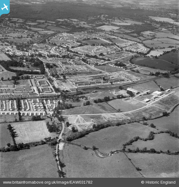
EAW031782 ENGLAND (1950). The Debden Estate under construction, Loughton, 1950
© Copyright OpenStreetMap contributors and licensed by the OpenStreetMap Foundation. 2026. Cartography is licensed as CC BY-SA.
Nearby Images (12)
EAW031782

EAW049304
, Loughton, 1953. This image was marked by Aerofilms Ltd for photo editing.")
EAW049306
, Loughton, 1953. This image was marked by Aerofilms Ltd for photo editing.")
EAW049301
, Loughton, 1953. This image was marked by Aerofilms Ltd for photo editing.")
EAW049302
, Loughton, 1953. This image was marked by Aerofilms Ltd for photo editing.")
EAW049305
, Loughton, 1953. This image was marked by Aerofilms Ltd for photo editing.")
EAW049303
, Loughton, 1953. This image was marked by Aerofilms Ltd for photo editing.")
EAW049307
, Loughton, 1953. This image was marked by Aerofilms Ltd for photo editing.")
EAW031783

EAW049308
, Loughton, 1953. This image was marked by Aerofilms Ltd for photo editing.")
EAW031785

EAW031784

Details
| Title | [EAW031782] The Debden Estate under construction, Loughton, 1950 |
| Reference | EAW031782 |
| Date | 4-August-1950 |
| Link | |
| Place name | LOUGHTON |
| Parish | LOUGHTON |
| District | |
| Country | ENGLAND |
| Easting / Northing | 544330, 196189 |
| Longitude / Latitude | 0.086255352002234, 51.645483439969 |
| National Grid Reference | TQ443962 |
Pins

Sue |
Thursday 2nd of February 2017 03:53:08 PM | |
|
martin |
Sunday 10th of August 2014 08:18:38 PM | |
|
martin |
Sunday 10th of August 2014 08:13:57 PM | |
|
Mikeya |
Thursday 24th of July 2014 02:39:20 PM | |
|
Mikeya |
Thursday 24th of July 2014 02:38:05 PM | |
|
Mikeya |
Thursday 24th of July 2014 02:37:26 PM |