
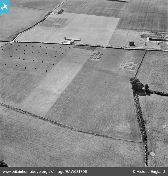
EAW031709 ENGLAND (1950). Field to the north of the Grassland Research Institute Farm, Hurley, 1950
© Copyright OpenStreetMap contributors and licensed by the OpenStreetMap Foundation. 2025. Cartography is licensed as CC BY-SA.
Nearby Images (4)
EAW031709

EAW031698

EAW031707

EAW031699

Details
| Title | [EAW031709] Field to the north of the Grassland Research Institute Farm, Hurley, 1950 |
| Reference | EAW031709 |
| Date | 4-August-1950 |
| Link | |
| Place name | HURLEY |
| Parish | HURLEY |
| District | |
| Country | ENGLAND |
| Easting / Northing | 482045, 182565 |
| Longitude / Latitude | -0.81695959771294, 51.535540306797 |
| National Grid Reference | SU820826 |
Pins
Be the first to add a comment to this image!
User Comment Contributions
Grasslands Research Institute, Honey Lane, Hurley, Maidenhead SL6 5LP Closed about 1998. On / near the site is Quelm Park, a country park / golf club / housing estate (Quelm Park is named after Quelm Lane where there used to be a 'quelm'. A quelm is a gibbet where the rotting bodies of hanged criminals were displayed!) |

totoro |
Wednesday 28th of May 2014 02:03:07 PM |