
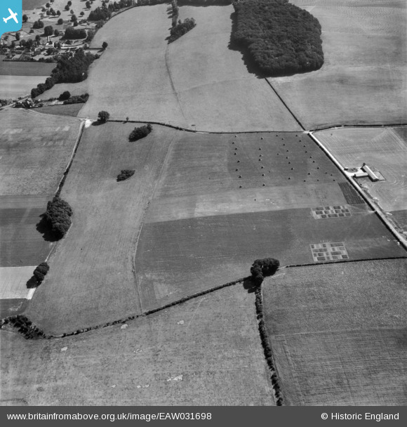
EAW031698 ENGLAND (1950). Fields between High Wood and the Grassland Research Institute Farm, Hurley, 1950
© Copyright OpenStreetMap contributors and licensed by the OpenStreetMap Foundation. 2025. Cartography is licensed as CC BY-SA.
Nearby Images (4)
EAW031698

EAW031709

EAW031707

EAW031699

Details
| Title | [EAW031698] Fields between High Wood and the Grassland Research Institute Farm, Hurley, 1950 |
| Reference | EAW031698 |
| Date | 4-August-1950 |
| Link | |
| Place name | HURLEY |
| Parish | HURLEY |
| District | |
| Country | ENGLAND |
| Easting / Northing | 482049, 182624 |
| Longitude / Latitude | -0.81688817943506, 51.536070166744 |
| National Grid Reference | SU820826 |
Pins

totoro |
Wednesday 28th of May 2014 02:24:30 PM | |
|
totoro |
Wednesday 28th of May 2014 02:23:43 PM | |
|
totoro |
Wednesday 28th of May 2014 02:23:06 PM | |
|
totoro |
Wednesday 28th of May 2014 02:22:43 PM |