
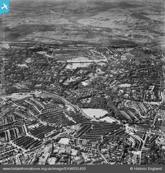
EAW031400 ENGLAND (1950). Endcliffe Park, Endcliffe Crescent and environs, Sheffield, 1950
© Copyright OpenStreetMap contributors and licensed by the OpenStreetMap Foundation. 2026. Cartography is licensed as CC BY-SA.
Nearby Images (2)
EAW031400

EAW031399

Details
| Title | [EAW031400] Endcliffe Park, Endcliffe Crescent and environs, Sheffield, 1950 |
| Reference | EAW031400 |
| Date | 26-July-1950 |
| Link | |
| Place name | SHEFFIELD |
| Parish | |
| District | |
| Country | ENGLAND |
| Easting / Northing | 432385, 386261 |
| Longitude / Latitude | -1.5131946611854, 53.371951855777 |
| National Grid Reference | SK324863 |
Pins

Aimerdee |
Monday 30th of March 2020 06:34:30 AM | |
|
paul allonby |
Monday 20th of January 2020 12:57:03 PM | |
|
paul allonby |
Monday 20th of January 2020 12:43:36 PM | |
|
redmist |
Wednesday 10th of October 2018 10:56:04 PM | |
|
Rob |
Friday 25th of April 2014 09:27:54 PM |