
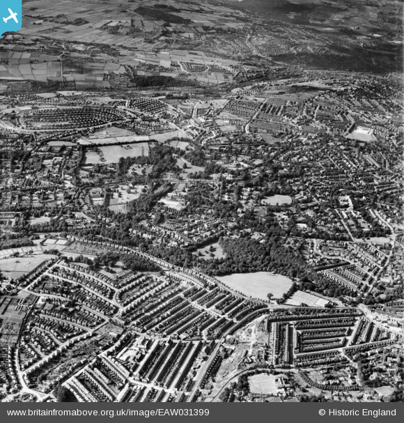
EAW031399 ENGLAND (1950). Endcliffe Park, Endcliffe Crescent and environs, Sheffield, 1950
© Copyright OpenStreetMap contributors and licensed by the OpenStreetMap Foundation. 2026. Cartography is licensed as CC BY-SA.
Nearby Images (4)
EAW031399

EAW031400

EAW037111

EAW037110

Details
| Title | [EAW031399] Endcliffe Park, Endcliffe Crescent and environs, Sheffield, 1950 |
| Reference | EAW031399 |
| Date | 26-July-1950 |
| Link | |
| Place name | SHEFFIELD |
| Parish | |
| District | |
| Country | ENGLAND |
| Easting / Northing | 432575, 386264 |
| Longitude / Latitude | -1.5103384210323, 53.37196714343 |
| National Grid Reference | SK326863 |
Pins

redmist |
Wednesday 10th of October 2018 10:54:14 PM |