
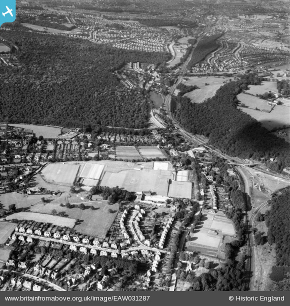
EAW031287 ENGLAND (1950). Abbeydale Park and environs, Dore, 1950
© Copyright OpenStreetMap contributors and licensed by the OpenStreetMap Foundation. 2026. Cartography is licensed as CC BY-SA.
Nearby Images (2)
EAW031287

EAW031286

Details
| Title | [EAW031287] Abbeydale Park and environs, Dore, 1950 |
| Reference | EAW031287 |
| Date | 26-July-1950 |
| Link | |
| Place name | DORE |
| Parish | |
| District | |
| Country | ENGLAND |
| Easting / Northing | 432167, 381369 |
| Longitude / Latitude | -1.5169688376909, 53.327989185246 |
| National Grid Reference | SK322814 |
Pins

Mickyc1440 |
Thursday 7th of September 2023 01:47:10 PM | |
|
gBr |
Wednesday 3rd of May 2017 09:46:52 PM | |
|
gBr |
Wednesday 3rd of May 2017 09:38:48 PM | |
|
gBr |
Wednesday 3rd of May 2017 09:34:34 PM | |
|
gBr |
Wednesday 3rd of May 2017 09:29:29 PM | |
|
gBr |
Wednesday 3rd of May 2017 09:24:54 PM | |
|
gBr |
Wednesday 3rd of May 2017 09:22:46 PM | |
|
John Wass |
Tuesday 10th of February 2015 08:51:05 PM | |

Maurice |
Thursday 3rd of July 2014 10:27:00 PM |