
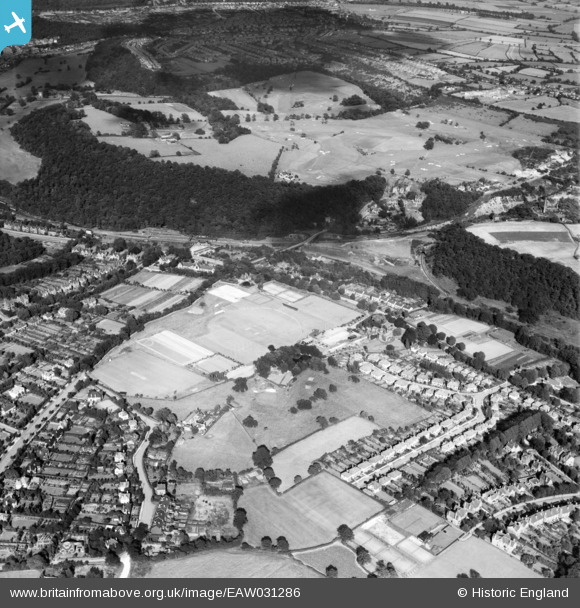
EAW031286 ENGLAND (1950). Abbeydale Park, Ladies' Spring Wood and environs, Dore, 1950
© Copyright OpenStreetMap contributors and licensed by the OpenStreetMap Foundation. 2026. Cartography is licensed as CC BY-SA.
Nearby Images (5)
EAW031286

EAW031285

EAW031284

EAW031283

EAW031287

Details
| Title | [EAW031286] Abbeydale Park, Ladies' Spring Wood and environs, Dore, 1950 |
| Reference | EAW031286 |
| Date | 26-July-1950 |
| Link | |
| Place name | DORE |
| Parish | |
| District | |
| Country | ENGLAND |
| Easting / Northing | 432196, 381123 |
| Longitude / Latitude | -1.5165583791159, 53.325776028614 |
| National Grid Reference | SK322811 |
