
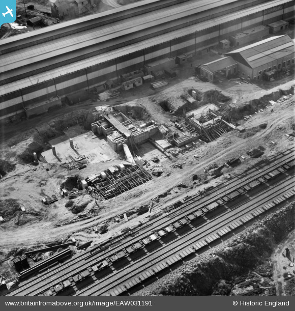
EAW031191 ENGLAND (1950). Part of the John Lysaght Normanby Park Steel Works under construction, Scunthorpe, 1950
© Copyright OpenStreetMap contributors and licensed by the OpenStreetMap Foundation. 2026. Cartography is licensed as CC BY-SA.
Nearby Images (48)
EAW027163

EAW038759

EAW031168

EAW023922

EAW038753

EAW038777

EAW034810

EAW021127

EAW038749

EAW021130

EAW038764

EAW028577

EAW009413

EAW021129

EAW021141
, Scunthorpe, 1949. This image has been produced from a damaged negative.")
EAW023920

EAW013495

EAW031176

EAW013491

EAW013825

EAW031169

EAW013496

EAW034802

EAW013494

EAW038758

EAW031180

EAW038755

EAW028576

EAW009627

EAW027168

EAW021131

EAW027167

EAW041829

EAW041838

EAW034820

EAW034807

EAW031192

EAW041837

EAW031179

EAW034797

EAW041834

EAW009623

EAW041836

EAW034798

EAW041833

EAW016665

EAW038770

EAW041835

Details
| Title | [EAW031191] Part of the John Lysaght Normanby Park Steel Works under construction, Scunthorpe, 1950 |
| Reference | EAW031191 |
| Date | 25-July-1950 |
| Link | |
| Place name | SCUNTHORPE |
| Parish | |
| District | |
| Country | ENGLAND |
| Easting / Northing | 489111, 413210 |
| Longitude / Latitude | -0.65302185026183, 53.6076214587 |
| National Grid Reference | SE891132 |
Pins
Be the first to add a comment to this image!