
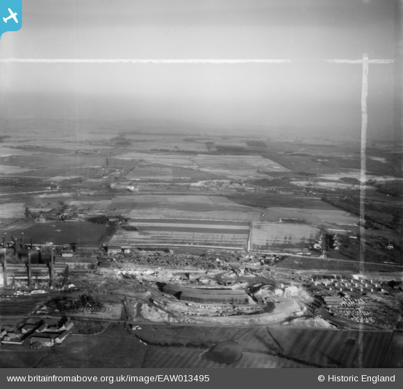
EAW013495 ENGLAND (1948). The southern end of the John Lysaght Normanby Park Steel Works site, Scunthorpe, from the west, 1948. This image was marked by Aerofilms Ltd for photo editing.
© Copyright OpenStreetMap contributors and licensed by the OpenStreetMap Foundation. 2026. Cartography is licensed as CC BY-SA.
Nearby Images (48)
EAW013495

EAW031180

EAW021129

EAW009627

EAW009413

EAW041829

EAW013494

EAW028576

EAW034820

EAW031169

EAW041838

EAW034807

EAW031179

EAW034798

EAW009623

EAW027167

EAW041834

EAW021141
, Scunthorpe, 1949. This image has been produced from a damaged negative.")
EAW013496

EAW041836

EAW016665

EAW023920

EAW041833

EAW009414

EAW013491

EAW038749

EAW038764

EAW041835

EAW038770

EAW041831

EAW034802

EAW019665

EAW049664

EAW031177

EAW031171

EAW038769

EAW038747

EAW019677

EAW034803

EAW021140

EAW038768

EAW016663

EAW034825

EAW038755

EAW013825

EAW049667

EAW016666

EAW009639

Details
| Title | [EAW013495] The southern end of the John Lysaght Normanby Park Steel Works site, Scunthorpe, from the west, 1948. This image was marked by Aerofilms Ltd for photo editing. |
| Reference | EAW013495 |
| Date | 26-February-1948 |
| Link | |
| Place name | SCUNTHORPE |
| Parish | |
| District | |
| Country | ENGLAND |
| Easting / Northing | 488957, 413322 |
| Longitude / Latitude | -0.65531698810767, 53.608654155487 |
| National Grid Reference | SE890133 |
Pins

DaveH |
Monday 6th of January 2020 03:27:24 PM | |
|
DaveH |
Thursday 21st of November 2019 04:47:34 PM | |
|
DaveH |
Thursday 21st of November 2019 04:47:00 PM | |
 |
redmist |
Thursday 31st of January 2019 11:48:14 AM |