
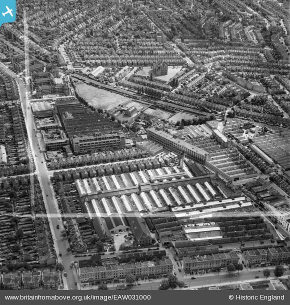
EAW031000 ENGLAND (1950). The Acton Park Industrial Estate and environs, Hammersmith, 1950. This image was marked by Aerofilms Ltd for photo editing.
© Copyright OpenStreetMap contributors and licensed by the OpenStreetMap Foundation. 2026. Cartography is licensed as CC BY-SA.
Nearby Images (27)
EAW031000

EPW020852

EPW020846

EPW062158

EPW020856

EPW020850

EPW020848

EAW030997

EPW020849

EAW031006

EPW062161

EAW030999

EAW031004

EAW030998

EPW062163

EAW031002

EPW062160

EPW020847

EPW014096

EAW031005

EAW031001

EPW062162

EPW062164

EPW062159

EAW031003

EPW062165

EPW020855

Details
| Title | [EAW031000] The Acton Park Industrial Estate and environs, Hammersmith, 1950. This image was marked by Aerofilms Ltd for photo editing. |
| Reference | EAW031000 |
| Date | 14-July-1950 |
| Link | |
| Place name | HAMMERSMITH |
| Parish | |
| District | |
| Country | ENGLAND |
| Easting / Northing | 521231, 179810 |
| Longitude / Latitude | -0.25310561468327, 51.503721703317 |
| National Grid Reference | TQ212798 |
Pins
Be the first to add a comment to this image!