
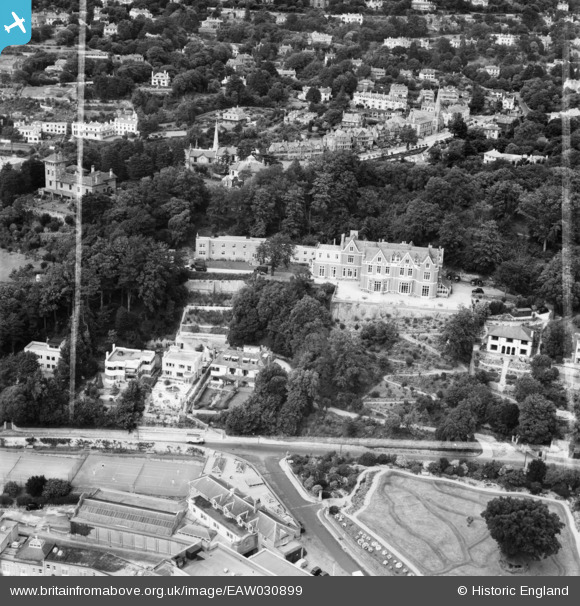
EAW030899 ENGLAND (1950). The Princes Hotel, Wellswood, 1950. This image was marked by Aerofilms Ltd for photo editing.
© Copyright OpenStreetMap contributors and licensed by the OpenStreetMap Foundation. 2026. Cartography is licensed as CC BY-SA.
Nearby Images (20)
EAW030899

EAW030898

EAW030903

EAW030900

EAW030902

EAW030901

EAW005874

EAW005865

EAW005873

EAW005872

EAW005866

EAW005869

EAW005870

EAW031976

EAW005868

EAW005867

EAW005871

EPW023716

EPR000338

EAW011840

Details
| Title | [EAW030899] The Princes Hotel, Wellswood, 1950. This image was marked by Aerofilms Ltd for photo editing. |
| Reference | EAW030899 |
| Date | 13-July-1950 |
| Link | |
| Place name | WELLSWOOD |
| Parish | |
| District | |
| Country | ENGLAND |
| Easting / Northing | 292136, 63166 |
| Longitude / Latitude | -3.5197275602415, 50.457794341494 |
| National Grid Reference | SX921632 |
Pins
Be the first to add a comment to this image!