
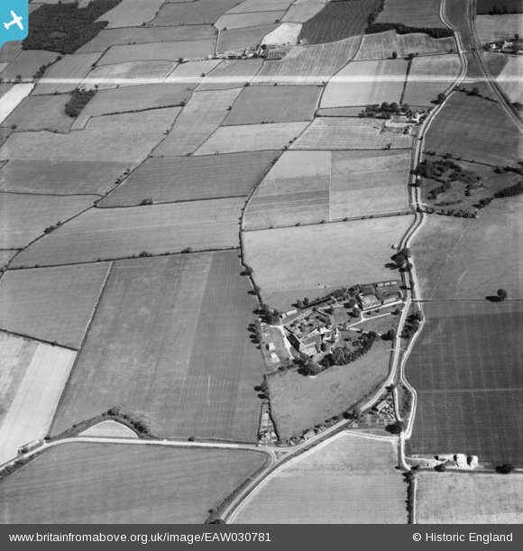
EAW030781 ENGLAND (1950). Cressing Temple, Cressing, 1950. This image was marked by Aerofilms Ltd for photo editing.
© Copyright OpenStreetMap contributors and licensed by the OpenStreetMap Foundation. 2026. Cartography is licensed as CC BY-SA.
Nearby Images (9)
EAW030781

EAW030782

EAW030776

EAW030785

EAW030779

EAW030780

EAW030784

EAW030787

EAW030774

Details
| Title | [EAW030781] Cressing Temple, Cressing, 1950. This image was marked by Aerofilms Ltd for photo editing. |
| Reference | EAW030781 |
| Date | 28-June-1950 |
| Link | |
| Place name | CRESSING |
| Parish | CRESSING |
| District | |
| Country | ENGLAND |
| Easting / Northing | 580156, 218640 |
| Longitude / Latitude | 0.61521594080395, 51.836820715142 |
| National Grid Reference | TL802186 |
Pins
Be the first to add a comment to this image!