
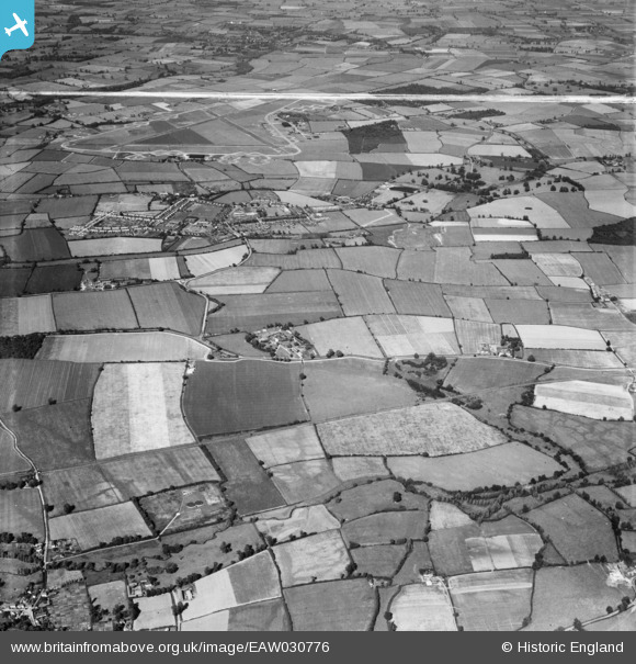
EAW030776 ENGLAND (1950). Cressing Temple, RAF Rivenhall Airfield and the surrounding countryside, Cressing, 1950. This image was marked by Aerofilms Ltd for photo editing.
© Copyright OpenStreetMap contributors and licensed by the OpenStreetMap Foundation. 2026. Cartography is licensed as CC BY-SA.
Nearby Images (8)
EAW030776

EAW030782

EAW030781

EAW030779

EAW030785

EAW030780

EAW030784

EAW030787

Details
| Title | [EAW030776] Cressing Temple, RAF Rivenhall Airfield and the surrounding countryside, Cressing, 1950. This image was marked by Aerofilms Ltd for photo editing. |
| Reference | EAW030776 |
| Date | 28-June-1950 |
| Link | |
| Place name | CRESSING |
| Parish | CRESSING |
| District | |
| Country | ENGLAND |
| Easting / Northing | 580164, 218693 |
| Longitude / Latitude | 0.61535954221283, 51.837294212922 |
| National Grid Reference | TL802187 |
Pins
Be the first to add a comment to this image!